Would you know where the Eye of the Butt, the Dalek and Slippery Bottom are? Maybe not, but to emergency services on a 999 call, getting to the right place as quickly as possible could make a vital difference in a life-saving emergency.
Ordnance Survey (OS) has been inviting blue light organisations around Great Britain to input local and colloquial nicknames into a new database called the Vernacular Names Tool.
The database, hosted in the OS National Geographic Database, is a replacement for FINTAN, a mapping tool created more than ten years ago in response to a request from HM Coastguard. It was created in partnership with OS and was designed to allow users to upload any local name, alternative name or nickname for a coastal feature alongside the accurate location or existing geographic name in the mapping database.
These include cliffs, caves, sandbanks, coastal car parks and buildings to name a few. This ensured that HM Coastguard responders could get to emergencies, however their location was described, with much greater confidence and speed. From only having a rough idea of location and needing to search the map to confirm the right place, control room staff could simply type in a location nickname and be given a precise location.
Now most of the contents of FINTAN, including nicknames such as Jabba the Hut, Stink Cove and Harry Potter Bridge, have been uploaded into the Vernacular Names Tool alongside input from new emergency service users across England, Wales and Scotland, bringing the current volume of names to over nine and a half thousand. It is hoped that highlighting the tool now will encourage even more of the blue light community to participate.
“The Vernacular Tool is an incredibly useful resource for our Maritime Rescue Coordination Centres to have access to. It has allowed local knowledge to be shared across our operational network and there are examples where its use has improved the tasking of critical rescue assets. We are very proud to have played a significant role in its development and we are pleased to see it being made available to colleagues in other emergency services today.”
Peter Mizen, Chief Coastguard.
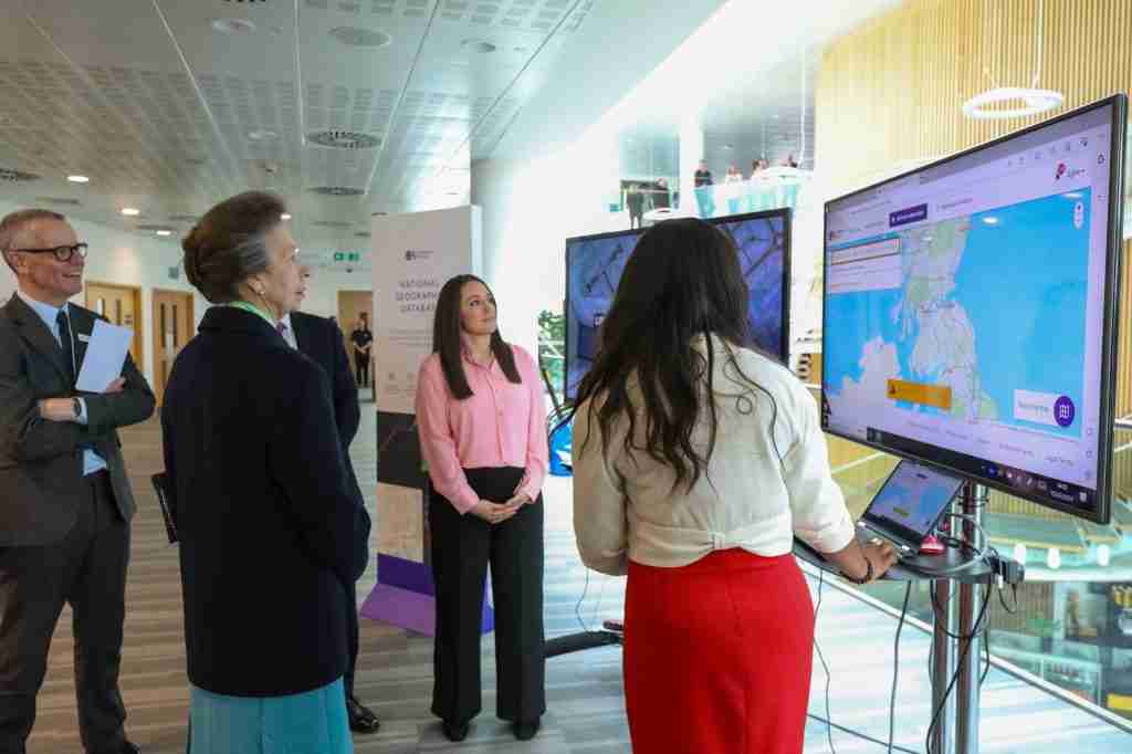
During a recent visit to OS Headquarters in Southampton, HRH The Princess Royal added a new colloquial name of her own to the database – ‘the wedding cake’ – an alternative name for the Queen Victoria Memorial, which is situated opposite Buckingham Palace in London.
One of the newer users to the Vernacular Tool is the Welsh Ambulance Services University NHS Trust.
“We find the tool really useful and very easy to use. We want to log as many vernacular names as we can so are exploring how the control room can do that now as well as starting to include this in control room induction training. The real value longer term will be ensuring that our ambulances will be able to get to the scene of an incident effectively with an accurate location provided by OS – no matter how it’s identified by a caller. We have been really happy to work with OS on such a significant project – this is a great initiative.”
Chris Jones, Emergency Medical Service Coordination Systems Administrator.
The information from the tool, along with other information on names, places and objects, will ultimately help power the recently launched OS Emergency Services Gazetteer.
OS has a long history of supporting the emergency services with authoritative location data. The Public Sector Geospatial Agreement provides access to OS data for all the emergency services and has become essential in daily operations across the police, fire, ambulance and coastguard services.
To read similar articles, check out our Technology channel.