


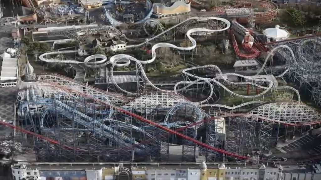
Emergency services in Lancashire will benefit from a greater depth of knowledge of the risks in its area as a result of a new partnership with Ordnance Survey and the creation of a new 3D map of Blackpool Pleasure Beach, one of the country’s most popular attractions.
Lancashire Fire and Rescue Service, Lancashire Local Resilience Forum and Ordnance Survey have created a high resolution digital model that provides unprecedented detail of this complex leisure venue to enhance preparedness for first responders.
Blackpool Pleasure Beach attracts 5m visitors every year and among its 125 amusement rides, it also hosts the UK’s second tallest rollercoaster, standing at 65 metres. Understanding the risks of this complex venue has always been a challenge when considered just in 2D. Planning for safe access, staging areas and evacuation points is all part of the emergency services preparations so that they are ready to respond at any time.
Ordnance Survey said that its consultants shared expertise with the emergency services in the county, to capture aerial imagery of the Beach using drones. The imagery is processed o create a high resolution 3D mesh of the site, giving the first responders an accurate view of the venue’s varied structures, heights and confined spaces. This work was further enhanced by extending the imagery to the wider area, creating a seamless town-wide digital environment suitable for planning, training, and multi-agency response.
The 3D model assists with better operational planning; scenario modelling and training; shared situational awareness; and safety and efficiency, reducing risk to responders and strengthening value for money by re‑using the same trusted digital asset across agencies.
Tim Murrell, Drone Manager at Lancashire Fire and Rescue Service ad the Drone and Robotics Lead at the National Fire Chiefs Council, described the expertise from Ordnance Survey as ‘pivotal’ He added: “The drone flights and subsequent 3D mesh generation has allowed us to better support our LRF colleagues with highly detailed mapping of a complex site. We are better prepared for potential incidents and scenario training, and can provide a highly visual platform for shared situational awareness.”
Ordnance Survey 3D Mesh has been developed to enable the immersive visualisation of a specific area and for detailed analysis in a wide variety of areas such as urban planning, telecoms modelling, security and flood risk assessment, as well as for security and emergency planning. Chris Heap, Propositions Manager at Ordnance Survey acknowledged the investment by the emergency services in drones and described working with the Lancashire team as a ‘privilege.’
Find out more about how Ordnance Survey is innovating in the emergency services world by listening to this session from The Emergency Tech Show 2025. Ordnance Survey returns to the NEC in September. Register your interest to attend here.
